Autumn hike from the intermediate station of the Mendola Funicular to the village centre of Appiano on the Wine Road
Image gallery: Hike along the Caldaro High Route to San Michele
-
-
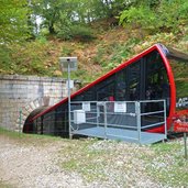
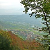
D-0426-kalterer-hoehenweg-mittelstation-mendelbahn.jpg
-
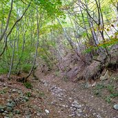
D-0436-wanderweg-kalterer-hoehenweg.jpg
-
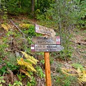
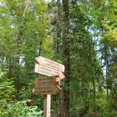
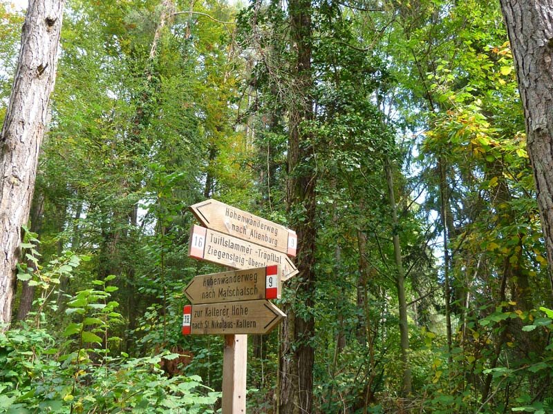
D-0438-wegweiser-kalterer-hw.jpg
-
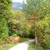
D-0439-kalterer-hoehenweg.jpg
-
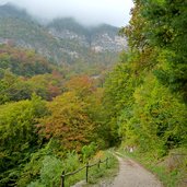
D-0454-herbst-kaltern-st-nikolaus-nebel.jpg
-
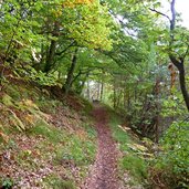
D-0457-kalterer-hoehenweg-steiler-weg.jpg
-
D-0490-kalterer-hoehenweg-herbstwald.jpg
-
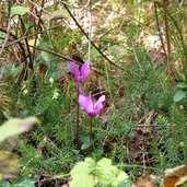
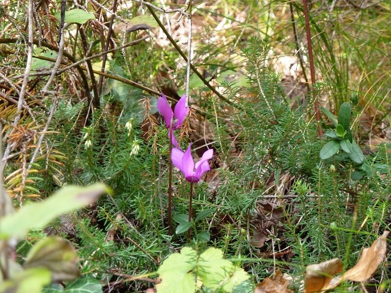
D-0491-zyklamen-am-kalterer-hoehenweg.jpg
-
D-0514-kalterer-hohenweg-matschatsch.jpg
-
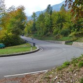
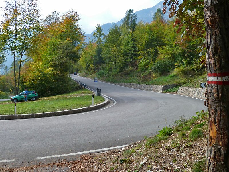
D-0519-mendelstrasse-kehre-kalterer-hw.jpg
-
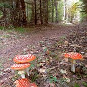
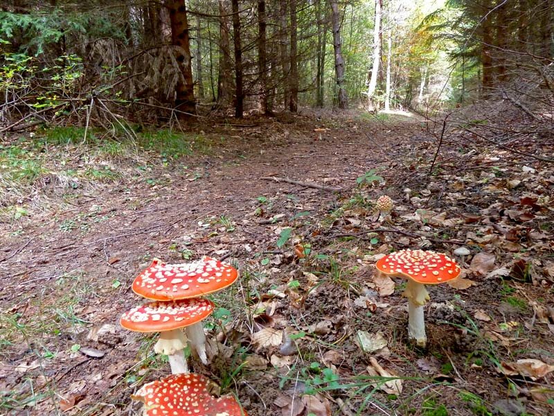
D-0533-pilze-hoehenweg.jpg
-
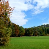
D-0555-gruene-wiese-gand-bei-matschatsch.jpg
-
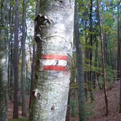
D-0567-gand-weg-nr-7.jpg
-
D-0575-wegweiser-steinegger-eppan.jpg
-
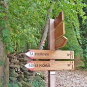
D-0585-eppan-wegweiser-steinegger.jpg
-
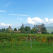
D-0586-eppan-gleifkirche.jpg
-
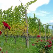
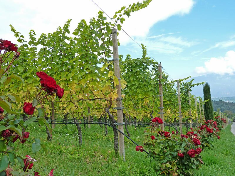
D-0592-eppan-rosen-weinberge.jpg
-
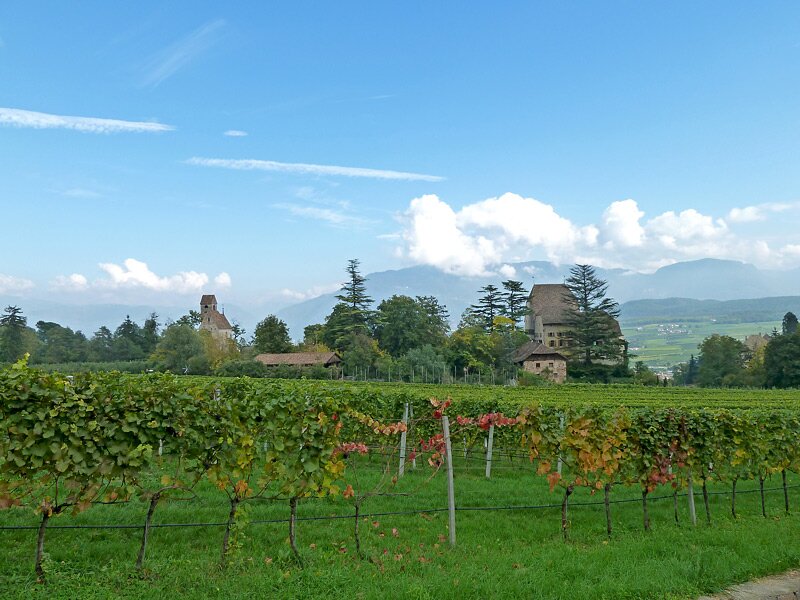
D-0648-eppan-moos-schulthaus.jpg
-
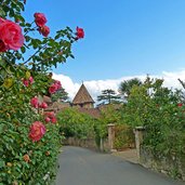
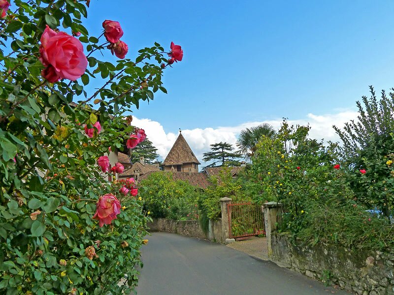
D-0666-rosen-eppan.jpg
-
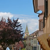
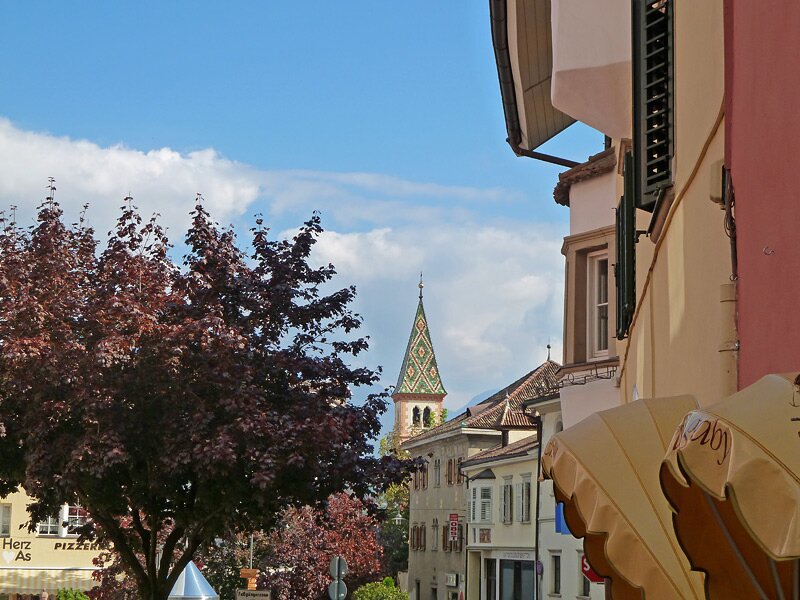
D-0702-st-michael-eppan-bei-dominikanerkirche.jpg
-
video : Hiking tip: Caldaro High Route
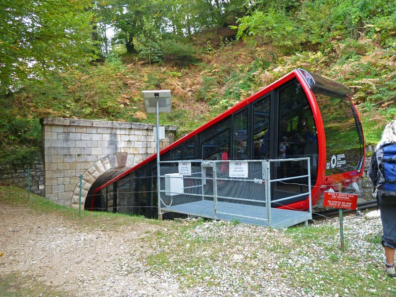
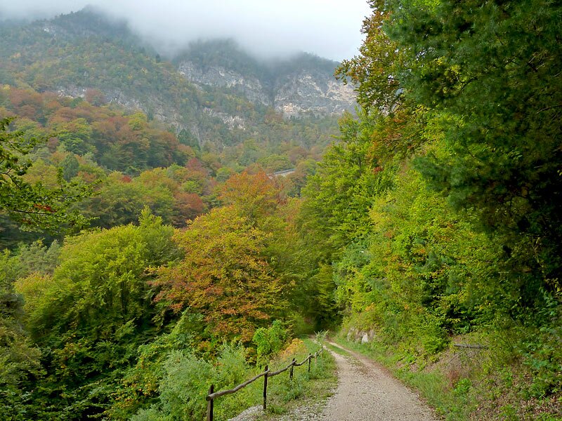
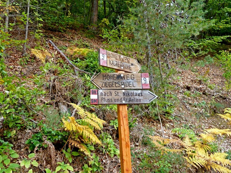
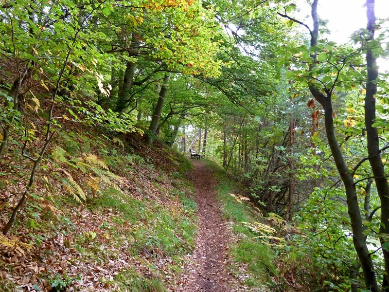
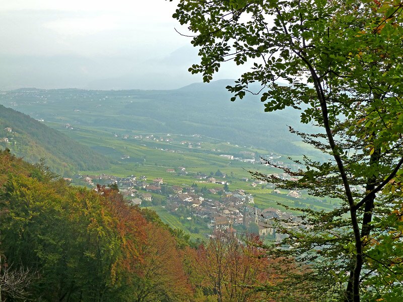
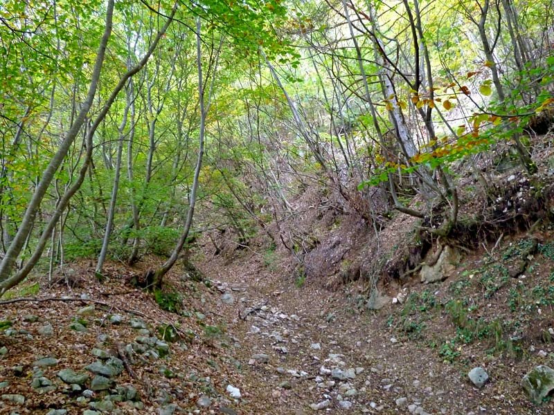
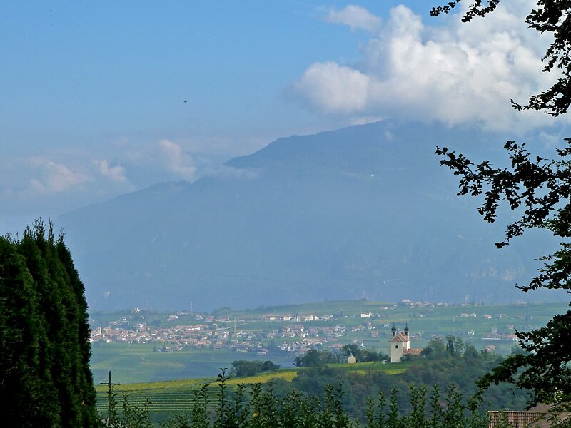

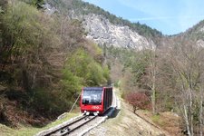
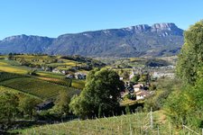
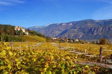
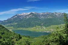
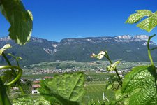
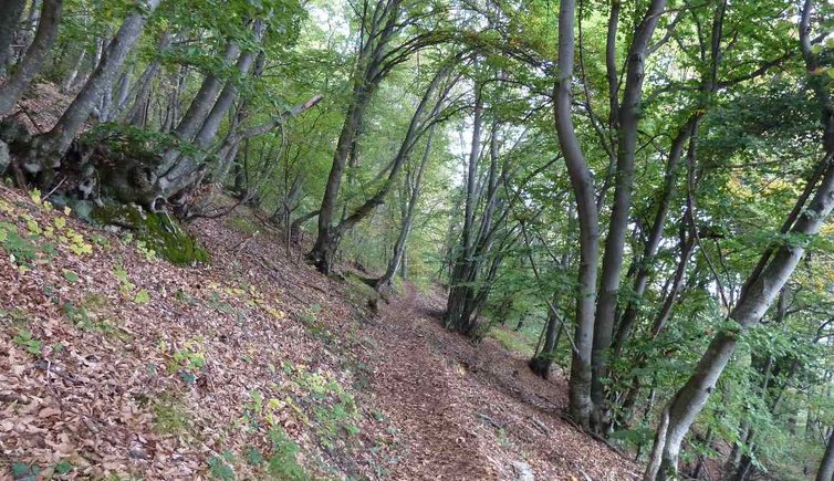
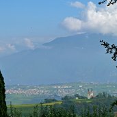
The intermediate station of the Mendola Funicular above San Antonio Caldaro is the starting point of our autumn hike at the foot of Mount Mendola. This funicular steeped in history offers recently also an intermediate station - we tell the driver that we'd like to get off there. It's mid-October and mist enfolds the landscape. Our hike leads us first on a wide forest path in a northerly direction and then we turn into a narrow and partly steep trail through the colourful deciduous forest. Above San Nicolò Caldaro the Caldaro High Route (Kalterer Höheweg) crosses the stony Mendola Trail (Mendelsteig). We continue our walk on a forest path and cross the Mendola road twice in order to reach Masaccio (Matschatsch) on the Monte Ganda mountain.
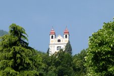
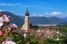
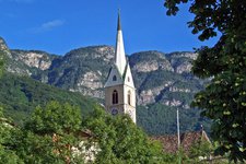
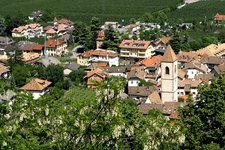
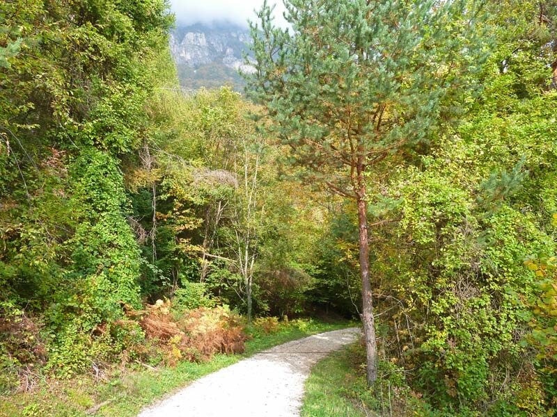
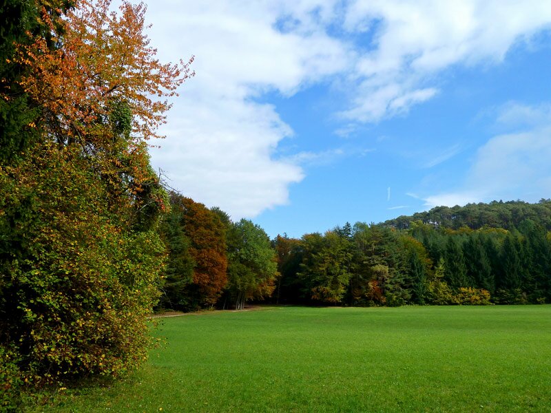
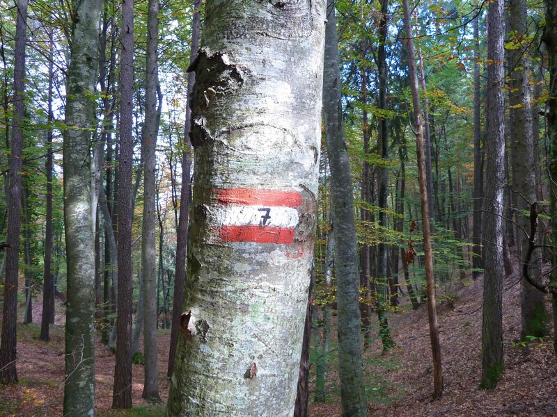
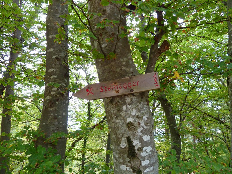
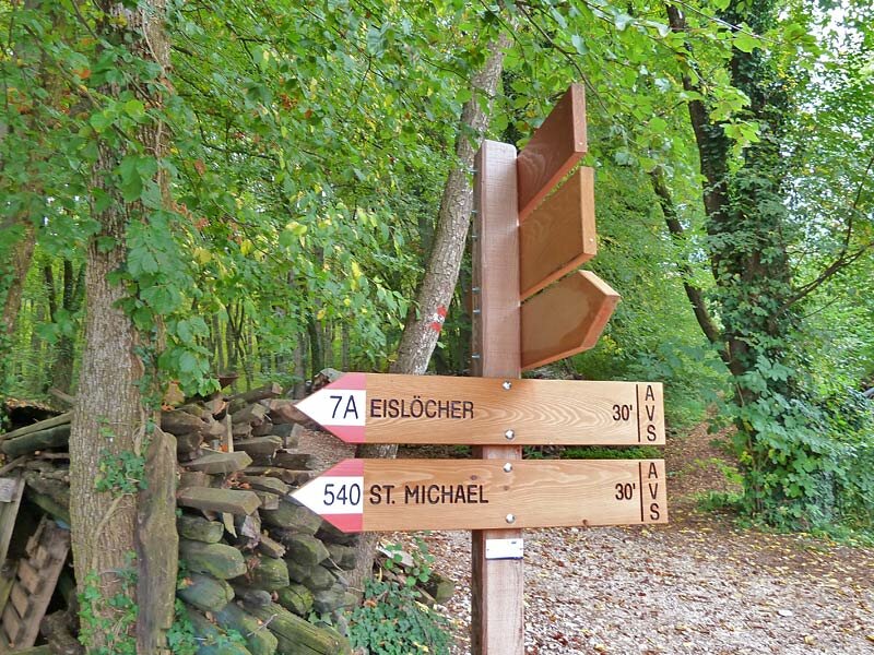
We rest on a beautiful clearing - the sun has chased away the mist and the clear blue sky forms a beautiful contrast to the autumnal coloured forest. The trail no. 7 proceeds downhill to the Steinegger tavern where we turn into the path no. 540 past the Moos, Englaro and Ganda Castles to Pigano and San Michele Appiano. Past the Dominican Church we finally reach the Via Stazione road and the bus stop - by bus we turn back to San Antonio Caldaro. This is a really nice autumn walk to explore the landscape of the Oltradige area.
Author: AT
-
- Starting point:
- intermediate station of the Mendola Funicular above Sant'Antonio Caldaro
-
- Time required:
- 03:05 h
-
- Track length:
- 10,5 km
-
- Altitude:
- from 397 m to 877 m
-
- Altitude difference:
- +275 m | -613 m
-
- Route:
- Sant'Antonio - Caldaro High Route - Masaccio - Steinegger Tavern - San Michele Appiano
-
- Signposts:
- no. 9, 7, 540
-
- Destination:
- San Michele Appiano
-
- Resting points:
- Kalterer Höhe, Steinegger, Restaurants at San Michele
-
- Recommended time of year:
- Jan Feb Mar Apr May Jun Jul Aug Sep Oct Nov Dec
-
- Download GPX track:
- Hike along the Caldaro High Route to San Michele
If you want to do this hike, we suggest you to check the weather and trail conditions in advance and on site before setting out.